

From Space to the Streets: NASA-Funded Research Takes Aim at El Paso Flooding
EL PASO, Texas (Oct. 8, 2026) – NASA may be known for exploring deep space, but a team of UTEP researchers is turning the agency’s technology toward a challenge much closer to home: tracking floodwaters after major storms.
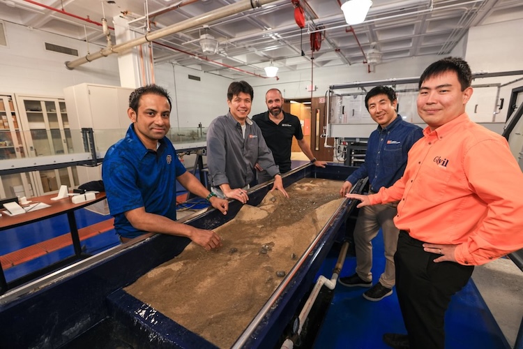
Led by Yong Je Kim, Ph.D., assistant professor in UTEP’s Department of Civil, Environmental and Construction Engineering, the research team has received nearly $500,000 from NASA for a two-year project that will combine satellite imagery, Earth observation data and artificial intelligence to rapidly map areas affected by flooding in El Paso.
“El Paso may be a desert city, but intense monsoon storms can send water rushing through streets, drainage channels and developed neighborhoods,” Kim said. “Once a storm passes, another challenge begins. Utility crews need to determine where flooding occurred, what infrastructure may have been affected and where inspections are needed most.”
The researchers will work with El Paso Water, the local water utility, to explore how advanced NASA satellite data and AI could help utility crews identify flooded areas, prioritize inspections and assess potentially affected infrastructure more quickly after a major storm.
Joining Kim from the Department of Civil, Environmental and Construction Engineering are Jeffrey Weidner, Ph.D., associate professor; Sungmin Youn, Ph.D., associate professor; and Jaeyoon Kim, Ph.D., assistant professor. Niamat Hossain, Ph.D., assistant professor in the Department of Industrial, Manufacturing and Systems Engineering, rounds out the interdisciplinary team.
The researchers will use NASA satellite imagery and Prithvi-EO, an advanced AI foundation model designed to analyze Earth observation data using the broader context surrounding an area rather than relying on individual pixels. That capability could be particularly useful in El Paso, where wet pavement, building shadows and even swimming pools can resemble floodwater in satellite imagery.
The team will also combine optical satellite imagery with Sentinel-1 radar data, which can provide observations when clouds limit optical imagery. By bringing those sources together, researchers will evaluate whether AI can more accurately distinguish actual flooding from features in a complex urban environment and provide a clearer picture of conditions across the city after a storm.
El Paso Water will serve as a research partner and intended end user, helping the team ensure the technology addresses real operational needs. Researchers plan to integrate flood maps, confidence information and infrastructure overlays into a dashboard that could help utility staff identify potentially affected assets and prioritize field inspections.
The technology is not intended to replace crews on the ground or existing emergency response procedures, the team said. Instead, it could provide another layer of information to help utility staff and emergency responders determine where attention and resources are needed most.
Kenith Meissner, Ph.D., dean of the Miguel A. Loya College of Engineering, said the project reflects the College’s focus on translating research and innovation into solutions with tangible community impact.
“This project from Dr. Kim and his team demonstrates the kind of research we strive to advance at the Miguel A. Loya College of Engineering: innovative, collaborative and directly connected to the needs of our community,” Meissner said.
The project is expected to be completed by June 2028.
Last Updated on October 08, 2026 at 12:00 AM | Originally published October 08, 2026
By MC Staff UTEP Marketing and Communications


