
About Us
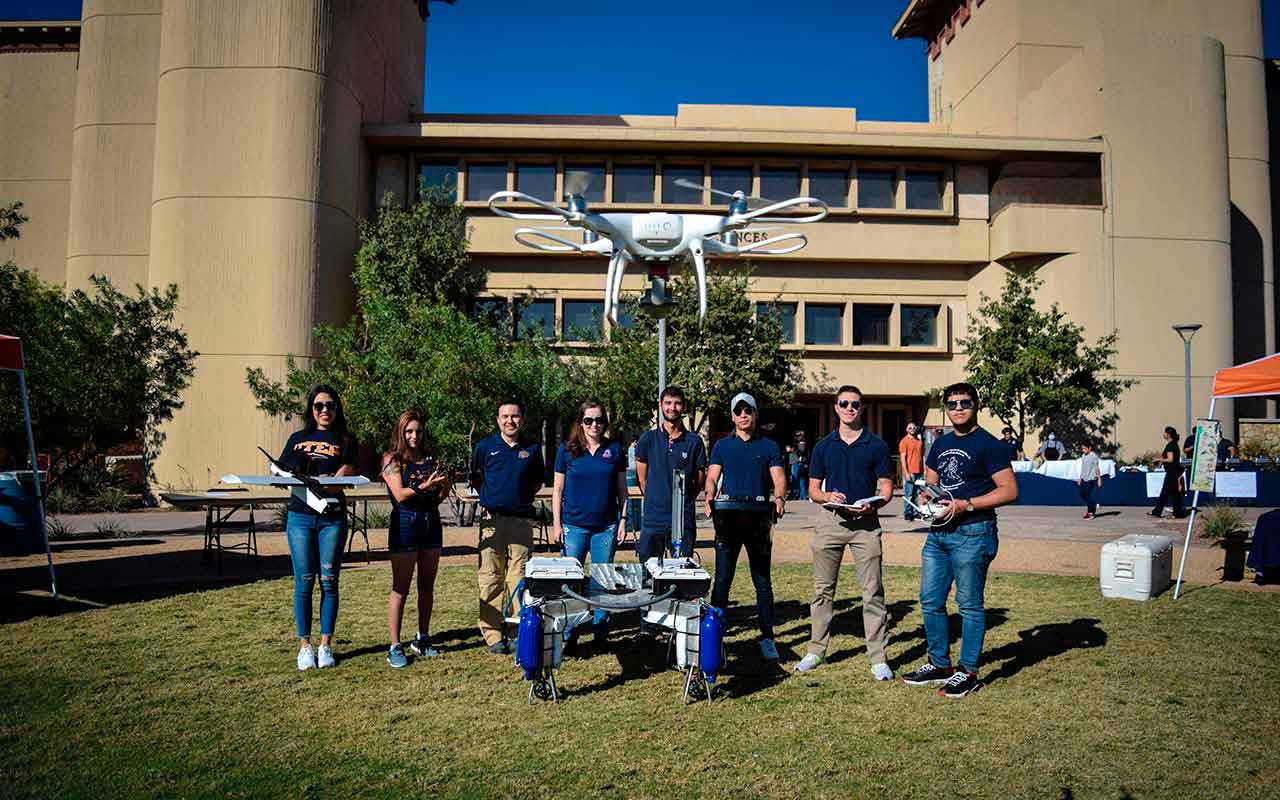
We are a growing and diverse group of active researchers, faculty, and students developing science and technology for intelligent environmental sensing and sampling including in-situ and remotely sensed measurements complemented by physics- and machine learning-based modeling.
Our research efforts focus on advancing the study of terrestrial systems to understand processes ruling landscapes and their change. Our study topics span from atmospheric science, hydrometeorology, hydro climatology, ecohydrology, surface hydrology, hydro informatics, computational fluid dynamics, river science, geomorphology and land surface processes, and planetary science.
We use tools that combine direct field observations from the atmosphere, the ground surface, and underwater environments from intelligent samplers, with remotely sensed information from satellites, radars, radiometers, and sonars onboard of satellites or unmanned aerial or nautical systems and high performance, distributed hydrological and river computational modeling to develop platforms for decision making under uncertainty. Please look at our research section for a more detailed description of current projects, publications, group members, resources, news, and careers.
Mission
GeoSenSE's mission is to provide a space for the integration of technological progress and artificial intelligence in remote sensing to come up with alternatives and solutions to problems in science and engineering.
Vision
In the GeoSenSE Center, the idea is to merge artificial intelligence with autonomous vehicles (aerial, nautical, and terrestrial) whose algorithms can drive these artificial intelligences to be more efficient in collecting data, interpreting processes, and help us make better decisions and predictions of the future.
History
The GeoSenSE Research Lab (which stands for Geospatial, Sensing, and Sampling of the Environment) started in earlier 2021 as an initiative proposed and founded by professors Hernan Moreno and Laura Alvarez. The idea that started GeoSenSE was and still is that of merging artificial intelligence with autonomous vehicles including aerial, nautical, and terrestrial vehicles, to algorithms that can drive those intelligent systems into being more efficient in collecting data, interpreting processes, and helping us make better decisions and predictions of the future.


